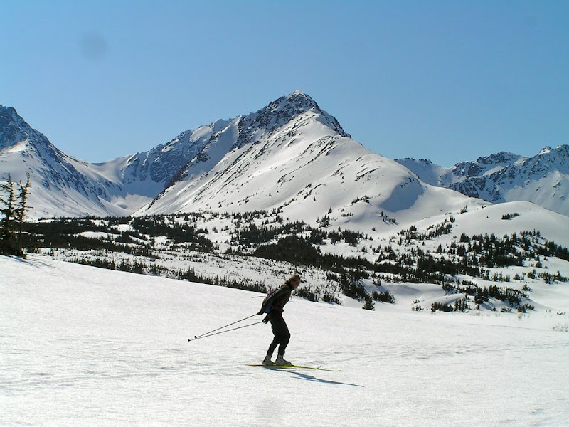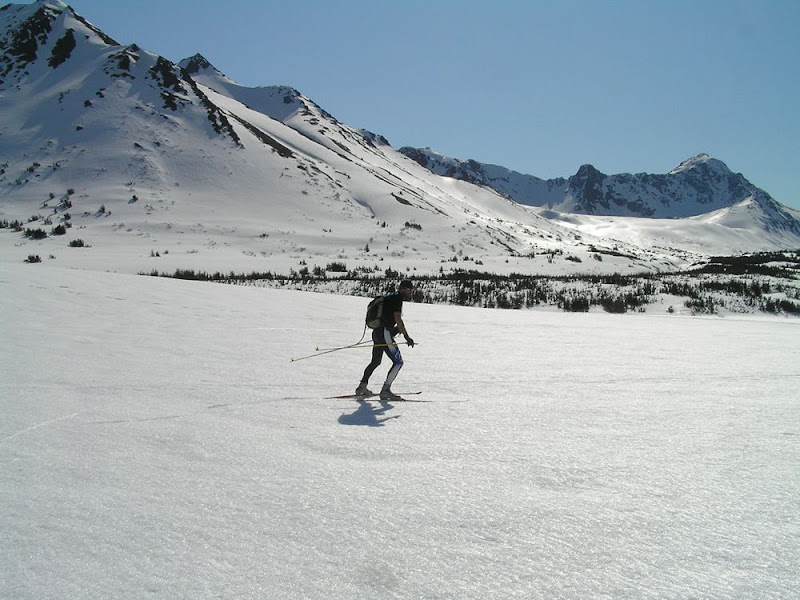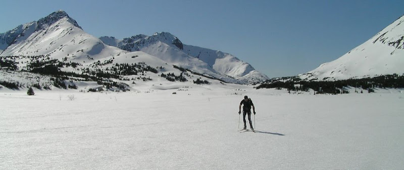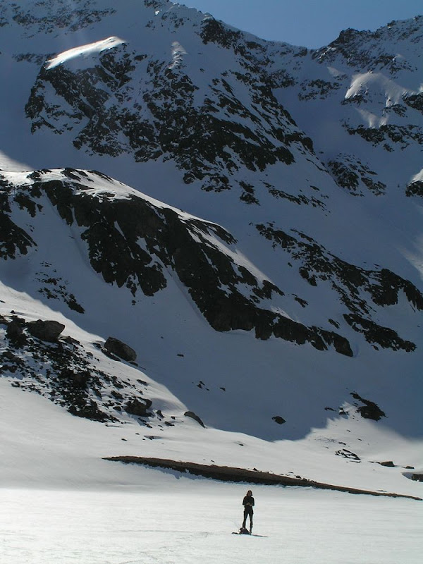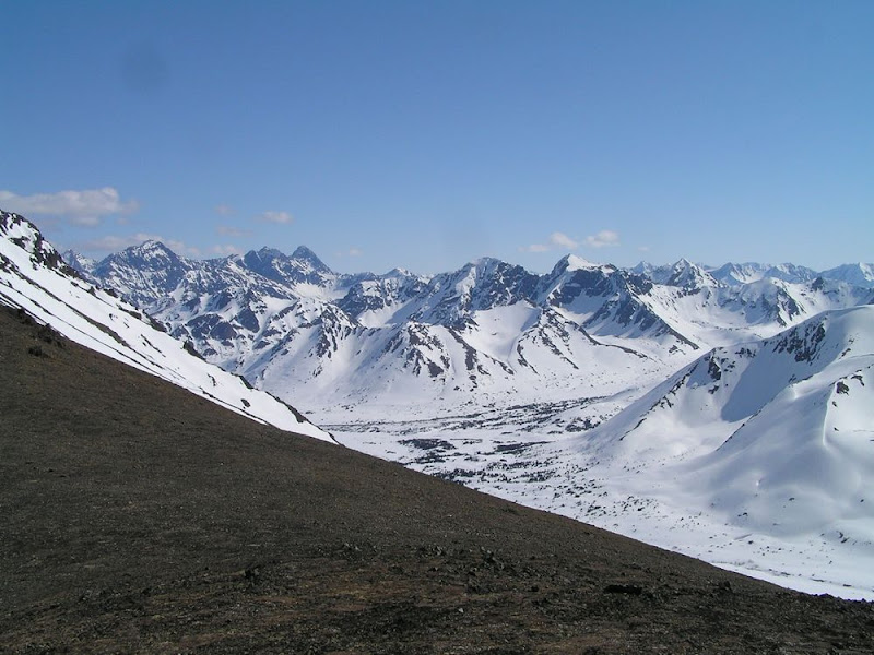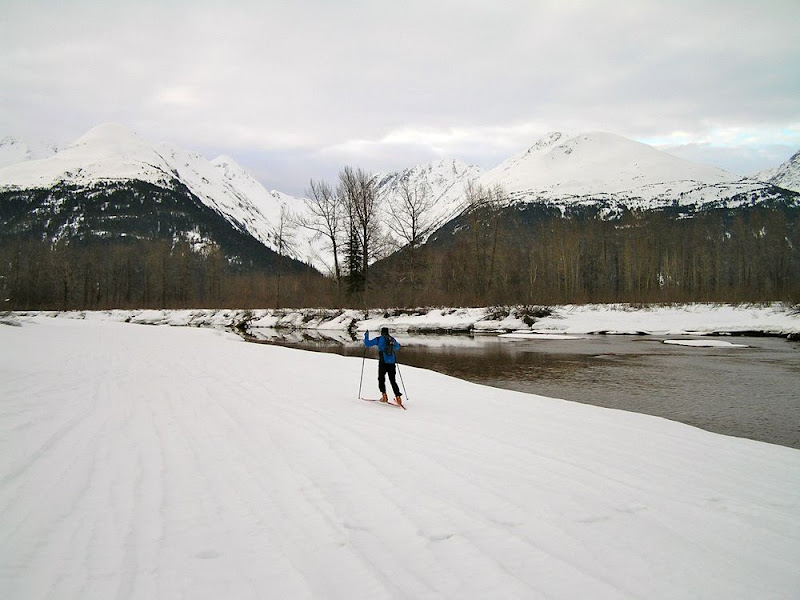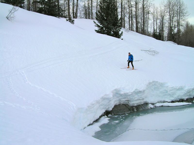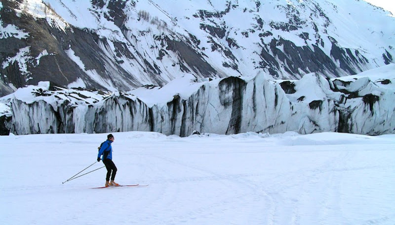
Tag: Chugach

  • Wednesday Workout: Mountain Running with David Norris

    Wednesday Workout: Mountain Running with David Norris

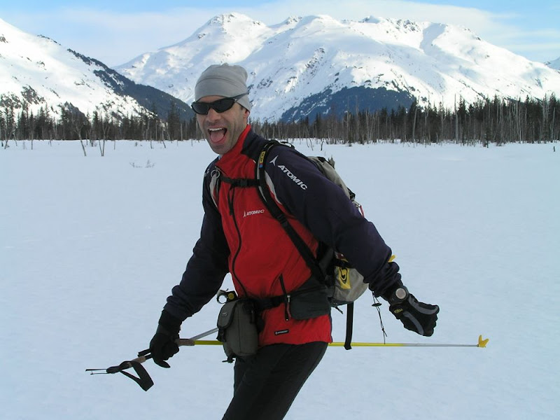
    Eventual winner David Norris (l) and his APU teammate and second-place finisher Scott Patterson (r) race in the Bird Ridge Hill Climb overlooking Turnagain Arm outside Anchorage, Alaska, in June 2016. (Photo: David Norris)David Norris is having a moment.  The 25-year-old native of Fairbanks, Alaska, won his first-ever SuperTour race in Lake Placid in January. The next day, he won his second SuperTour race. In February he won the prestigious American Birkebeiner, taking home more than $10,000 dollars and leaving behind an iconic shot of him exulting as he crossed the finish line. In March, after missing out on qualifying for the Ski Tour Canada, he stayed in Alaska to train and won the Tour of Anchorage, then finished third in a slushy 50-kilometer classic mass start at U.S. Distance Nationals in Vermont.

    David Norris earlier this month above Eagle Glacier outside Anchorage, Alaska. (Courtesy photo)For all of these accomplishments, Norris, who skis for Alaska Pacific University (APU), was named the FasterSkier Breakthrough Skiers of the Year among American men. As Norris wrote at the time, “I always want more from myself when any season comes to an end. I don’t think my results have put me in a different position than last year but I’m going into the summer with excitement knowing that some really great results are possible for me.”

    That was in April. Norris’s words seem prescient now. Since then, he placed second in the year’s first big mountain run in southcentral Alaska, finishing behind only APU teammate Scott Patterson on a course in the Chugach foothills outside Anchorage that gained a healthy 4,300 vertical feet over 8.5 kilometers (5.3 miles).  And earlier this month he traded places with Patterson, edging out his APU teammate for first in the Bird Ridge hill climb mountain run, a race that gains 3,500 vertical feet in less than three miles.

    Oh, and Norris also set a new course record at Bird Ridge. The race has been held annually since 1989, and has long been a favorite fitness test for Alaskan skiers.  Norris’s 37:04.70 from earlier this month beat everyone on a long line of past champions at Bird Ridge that includes Olympians Holly Brooks, Todd Boonstra, and Bill Spencer, plus former World Cup skiers Nicole DeYong, Trond Flagstad, Brent Knight, Frode Lillefjell, Toby Schwörer, and Rob Whitney.

    So what’s Norris’s secret to mountain running success? As Norris modestly notes, “In the last few summers my uphill running has improved tremendously. I am not alone in this as many of my [APU] teammates both on the men’s and women’s side are constantly earning new personal best times. As a result, they regularly share the podium with me in local mountain races.”

    Norris also admits, “I don’t specialize or focus on my mountain running performances, but as you can imagine the training for ski racing is great for mountain running results.”

    Despite Norris’s announced lack of focus in this area, his results suggest that he knows something about running uphill fast, then translating this to ski speed.

    In his own words, here are some of Norris’s top tips for going uphill fast, be it in racing or training:

    – Train really hard for ski racing! “Since the major goal is skiing well next winter my training recommendation is to train a lot for skiing and the uphill running will take care of itself. I do believe the longer sustained threshold bounding workouts and distance running sessions in the mountains are especially good preparation for both winter and summer racing.”

    – Switching techniques. “For many of the Alaskan mountain races there are steep sections where most racers switch to hiking. Hiking is fine and maybe even better on certain pitches, but forcing yourself back into a running stride as soon as the terrain allows is crucial. It is in some of the gear/tempo changes that I have either been dropped on a bad day or realized an advantage on my competitors. The hiking usually feels more comfortable, but it may not be the fastest.”

    – Pacing. “I have discovered through epic explosions that in uphill running I can hardly move up the mountain once I max out or push too hard too early. The pacing for me seems similar to ski racing, but more important because there is no recovery time in an uphill course, in contrast to a rolling ski course. The ideal pace for me is to go out hard, then settle into something that I know is manageable before trying to pick up the pace during the last five or ten minutes of the race. Sometimes I don’t get to choose the pace and I am forced into hanging with my competitors with an early pace that is faster than I believe I can handle. In that case another important aspect to pacing is just running relaxed and keeping your arms loose through the first three quarters of the race.”

    As Norris graciously concludes: “I hope some of these tips help you in your next time trial or race. The major tip that I have seen work for myself is to just train a ton for skiing! Make a lot of your training going up big hills – that is, both in easy distance and during intervals. Don’t just hit the flats because you’re supposed to be doing easy distance; take to the hills and just monitor your pace to keep it where you want it.”

    David Norris of Alaska Pacific University celebrates his first victory in the American Birkebeiner 52 k freestyle race in February in Hayward, Wis. (Photo: James Netz/American Birkebeiner Ski Foundation)

  • Norris Wins 10-Lap Anchorage Tour; Brooks Tallies Third Title

    Norris Wins 10-Lap Anchorage Tour; Brooks Tallies Third Title

    APU teammates Lauren Fritz (l) and Holly Brooks racing for the win at the 2016 Anchorage Tour in Kincaid Park on March 6. Brooks won and Fritz placed second. (Photo: Rob Whitney)
    APU teammates Lauren Fritz (l) and Holly Brooks racing for the win at the 2016 Anchorage Tour in Kincaid Park on March 6. Brooks won and Fritz placed second. (Photo: Rob Whitney)

    ANCHORAGE, ALASKA – A first-time racer and a former champion returning after a long absence skied to convincing victories in the Anchorage Tour Festival 30-kilometer race, née Tour of Anchorage 50 k, at Kincaid Park on Sunday. David Norris, last seen coming out of a group sprint to win the American Birkebeiner two weeks ago, and Holly Brooks, previously seen in two Olympic games but not at this race since 2009, each won by roughly three minutes on a sunny morning at Kincaid.

    The Tour of Anchorage is traditionally a 50-kilometer, point-to-point race, ranging from the Chugach foothills on the east side of town to Kincaid Park at the west edge of the Anchorage metropolitan area.  In between, racers traverse ski trails, city greenbelts, and bike trails until they reach the Coastal Trail multiuse trail, at which point they cover 15 k along the shores of the Pacific Ocean before ascending a hill to finish at Kincaid.  It is truly a tour through the heart of Anchorage.

    This year’s race, like every other race held under the auspices of the Nordic Ski Association of Anchorage (NSAA) in this snow-sparse winter, occurred exclusively on the snowmaking loop centered on the Kincaid Stadium.  This year’s Tour presented 10 laps around a 3 k course, making for a 30 k freestyle race.  It was more a Tour of the Snowmaking Loop than a Tour of Anchorage.  Conditions on the course were very good at the outset, with recent fresh snow mixed into a solid base of manmade snow, though the steepest uphills and downhills broke down into sugar snow over glare ice by midway through the race.

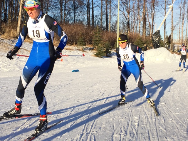
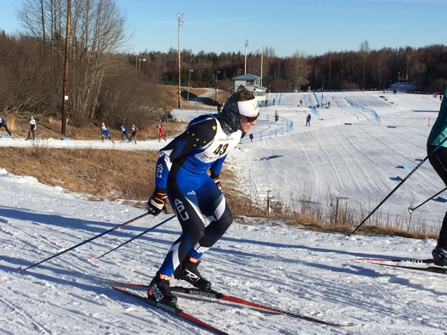
    David Norris (APU) racing to his first Anchorage Tour win at Kincaid Park on March 6. (Photo: Rob Whitney)
    David Norris (APU) racing to his first Anchorage Tour win at Kincaid Park on March 6. (Photo: Rob Whitney)

    Norris, who skis for Alaska Pacific University (APU) and who won the men’s race by nearly three minutes in 1:14:51.0, seemed undeterred in his first time racing the Tour of Anchorage.  In an email, he wrote, “This would have been my first year to do the actual Tour. … Due to the low snow year I was glad to have the Tour Festival 30km race on the manmade loop. I am glad the NSAA hosted the event even though we couldn’t do the formal course.”

    The men’s podium was all APU blue.  Jack Novak was second in 1:17:32.9.  Andre Lovett followed roughly a minute later in 1:18:27.9.

    Norris skied most of the race by himself, after breaking away from Novak late in the first lap.  Norris wrote of his race strategy, “I went out hard from the start to practice that kind of effort. Jack stayed with me for almost the entire first lap before settling in.”

    Norris had no other immediate competitors for the remaining nine laps and 27 k.

    But with a field of 148 skiers on a 3 k loop (60 racers for the 30 kilometer race and 88 for the contemporaneously held 15 kilometer race), Norris had plenty of company out there.  As Norris graciously wrote, “I thought I skied steady and was able to re-accelerate through corners or after congestion due to all the different levels of racers on a short 3km loop.  I really apologize if I ever startled anyone while making a pass.  I tried to be really careful not to be a jerk while making passes today.”

    “I tried to be really careful not to be a jerk while making passes today.” — David Norris, after winning 2016 Anchorage Tour 30 k

    While Sunday was the first time in this race for Norris, a Fairbanks native, the 2016 Tour marked a homecoming of sorts for Anchorage’s Holly Brooks.  Brooks won the flagship 50 k Tour in both 2008 and 2009, at a time in her ski career when she was an APU coach first and a competitive skier second.  Better results, a spot on the U.S. Ski Team, and nomination to the 2010 and 2014 U.S. Olympic teams famously followed.  Brooks then spent last winter traveling the world, competing in the FIS Marathon Cup/Worldloppet series on three continents.  She is now pursuing a degree, buying a house, and likely training somewhat less.  But she is still winning ski races.

    Brooks, who remains affiliated with APU, finished first among the women in 1:24:46.1.  Her main competition came from fellow APU skier Lauren Fritz, who finished slightly less than three minutes back in 1:27:39.0.  Citizen racer Sally Hokanson was third in 1:40:21.4.

    While Norris went out hard from the start and gapped Novak early, Brooks and Fritz skied together for a majority of the morning.  Brooks started to pull away about three quarters of the way through the race, she recounted in an in-person interview.  

    “It might have been on lap 7 of 10.  It was on [the downhill on] the backside [of the course], because my skis were running pretty well,” she said. “I noticed I had a little bit of a gap.  I just put a few extra strides in and a good tuck and a big push, and opened up a little bit of a gap.”

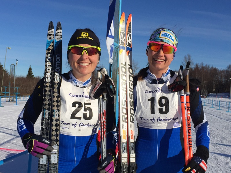
    Holly Brooks (l) and Lauren Fritz, both APU, after placing first and second, respectively, at the Anchorage Tour in Kincaid Park on March 6. (Photo: Rob Whitney)
    Holly Brooks (l) and Lauren Fritz, both APU, after placing first and second, respectively, at the Anchorage Tour in Kincaid Park on March 6. (Photo: Rob Whitney)

    Brooks kept her lead to the finish, aided by her own observations and splits from others.  

    “There’s a little out and back, where you can kind of get an idea if someone’s there or not, so I saw her there the first time after I’d made the move,” Brooks said.  “And then I got a couple of back splits after that that I had a little bit of a gap.”

    Brooks appreciated the chance to be back racing on home soil, after many winters spent skiing anywhere but in Alaska.  

    “It’s nice to be home,” she said.  “I had my husband out here giving me feeds, so that’s always fun, and a lot of local people out there on the course too.  There was a lot of traffic out there today, the 30 k and the 15 k on the same loop, and some of the downhills were a little sketchy with the traffic, but it was manageable.”

    A Kincaid lap race may not be particularly exciting, but it was certainly a change of pace from Brooks’ schedule last spring.  When asked where she had been one year ago this month, the peripatetic Brooks had to think for a while before answering.  

    “Last year I wasn’t home for another five weeks,” she finally said.  “Let’s see… I was at the Engadin this weekend last year I think.  And then after that I think there was the Norwegian Birkie. And then, I can’t remember if there was something between that and going to Siberia.  So, a much different year.”

    While Norris was racing the Tour for the first time, the rest of the day’s podium finishers were no strangers to this race.  Among the men, second-place finisher Novak won the race in 2015 (when it held as a criterium with a 50-minute time limit), and was third in 2014.  On the women’s side, second-place Fritz was also second in 2014.  And third-place Hokanson was second in the 2015 criterium, and (as Sally Johnson) won the 25 k classic race in 2008.
    So what are the winners’ plans for the rest of the season?

    “I will be training in Fairbanks until I leave for Spring Series in Vermont, which will conclude my season,” Norris wrote. “My season has progressed and I think I have made a good step forward. My goal at the beginning of the season was to earn a spot on the Canadian Tour World Cups, but with just average races in December and November I wasn’t able to secure a position.”

    Meanwhile, Brooks had upcoming spring marathon racing goals, including either the Kachemak Bay Nordic Ski Marathon in Homer or the Sonot Kkaazoot in Fairbanks. But as of early Sunday afternoon, standing in the Kincaid parking lot, the March sun finally taking the chill off what had been a brisk morning, she had more immediate plans.  “Oh, and I’m anxious for that sauna to get nice and hot,” she observed, gesturing toward a portable sauna that had been towed into the parking lot next to the beer garden.  “And the barrel hot tub.”

    Overall results

  • Williwaw Lakes – Ship Creek Crust Loop

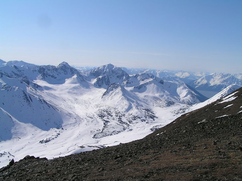
    “There is no way it is skiable,” I thought to myself, “So it can’t hurt to go up and just take a quick look.” Ian, Matias, and I were standing at the high point of the pass between Williwaw Lakes and Long Lake, just behind Elliott Peak in the Chugach front range. What had started as a quick morning crust jaunt up to Williwaw Lakes had already gotten a bit longer, and it was about to be pushed a little further.

    We were eyeing the low point in the ridge that separated us from the Ship Creek valley, between Koktoya Peak and Mount Williwaw. Ian suggested maybe we could ski down the backside into the Ship Creek valley. I was skeptical. I’ve been up on that ridge in the summer, and I remembered the backside as being fairly steep – too steep for nordic racing skis. It made me nervous. Besides, that would commit us to a loop that I really didn’t have time for today.

    But the view of the Chugach from that ridgeline is sublime…and I did have a little more time…and it couldn’t hurt to look, right?

    In half an hour, the three of us were standing on the ridge, admiring the view:

    Long Lake Pass overlooking Ship Creek. Click here for a full screen version.

    Sure enough it looked pretty steep. Matias said that he was going to hang out in the sun for bit, then head back. I was trying to come up with the right words to tell Ian that I was going to turn back too. But before doing so, I scurried down about 50 yards to a rock outcropping to have a look at the gully directly below us.

    I’ll. Be. Damned.

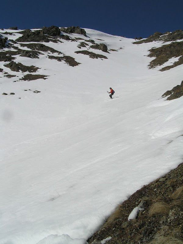
    It looked totally skiable. And the conditions were perfect: bomber crust that had an inch of soft corn on top. Hero snow. We were staring at the perfect opportunity to do a pretty cool loop: down into Ship Creek valley, up to Ship Lake, over Ship Pass and back to Glen Alps. We had to do it.

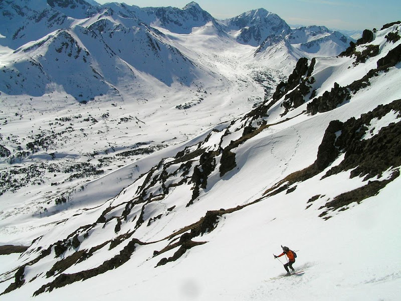
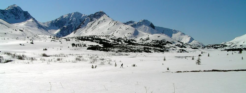
    We walked down a couple hundred yards before putting on our skis and descending the gully. It was great skiing. And the upper Ship Creek valley was excellent. I love that area. The best crust skiing in Chugach State Park in my opinion, but it takes a couple of hours to get there from any direction.

    We hoofed it up and over Ship Pass and cruised back to Glen Alps.

    Ship Pass. Click here for a full screen version.

    A fantastic loop! But if you give it a try – remember the descent into Ship Creek valley is east-facing so it starts softening up early. Hit it early to minimize avalanche danger, but not so early that it is rock hard.

    GPS Track here

    Pass between Williwaw and Long Lakes
    Pass between Williwaw and Long Lakes
    Looking towards Ship Pass
    Looking towards Ship Pass
    The gully we skied down to Ship Creek valley
    The gully we skied down to Ship Creek valley
    Heading down
    Heading down
    Ship Creek valley - the best crust in Anchorage!
    Ship Creek valley – the best crust in Anchorage!
    Williwaw - Upper Ship Creek Crust Ski - P4270056.JPG
    Williwaw – Upper Ship Creek Crust Ski – P4270056.JPG
    Williwaw - Upper Ship Creek Crust Ski - P4270059.JPG
    Williwaw – Upper Ship Creek Crust Ski – P4270059.JPG
    Williwaw - Upper Ship Creek Crust Ski - P4270064.JPG
    Williwaw – Upper Ship Creek Crust Ski – P4270064.JPG
    Ship Lake
    Ship Lake
    Ship Pass
    Ship Pass
  • Crust Ski To Twentymile Glacier

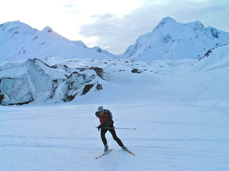
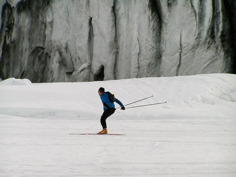
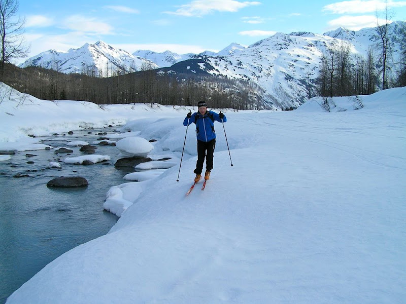
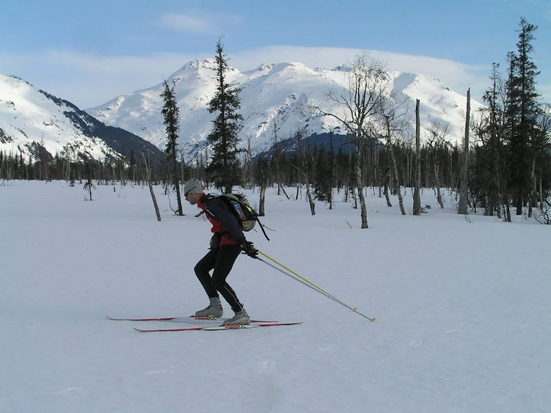
    The Twentymile River valley has lots of great terrain for crust skiing, and a couple of cool lakes to explore.  But it can be finicky.  Often times, when enough melting has occurred to create crust, the alders have started popping up, or the section near the road has turned to swamp.  You need a lot of snow to get a good crust window.  So this year Twentymile, like most other crust destinations in Southcentral, was the best I’ve ever seen it.

    Bill and I only had a few hours before work, so we made a quick out and back run straight to the glacier.

    GPS Track here

    Heading upriver
    Heading upriver
    Hope you sharpened your edges
    Hope you sharpened your edges
    Twentymile Glacier
    Twentymile Glacier
    Twentymile Glacier Crust Ski - P4110026.JPG
    Twentymile Glacier Crust Ski – P4110026.JPG
    There's white gold in them thar hills!
    There's white gold in them thar hills!
    Twentymile Glacier Crust Ski - P4110029.JPG
    Twentymile Glacier Crust Ski – P4110029.JPG
    Twentymile Glacier Crust Ski - P4110030.JPG
    Twentymile Glacier Crust Ski – P4110030.JPG
    Twentymile Glacier Crust Ski - P4110035.JPG
    Twentymile Glacier Crust Ski – P4110035.JPG
    Twentymile Glacier Crust Ski - P4110036.JPG
    Twentymile Glacier Crust Ski – P4110036.JPG
    Cruising along the Glacier River
    Cruising along the Glacier River
    Heading home
    Heading home
    Yeehaw!
    Yeehaw!


  • On the ridge between Wolverine and Elliot

    Another great ridgeline in Chugach State Park, excellent views of the front range.

    Click here for a full screen version.

    Thanks to Ian and Josh for waiting for me. Not my best day.

  • On the ridge between Wolverine and Elliot

    Another great ridgeline in Chugach State Park, excellent views of the front range.

    Click here for a full screen version.

    Thanks to Ian and Josh for waiting for me. Not my best day.

  • On the ridge between Wolverine and Elliot

    Another great ridgeline in Chugach State Park, excellent views of the front range.

    Click here for a full screen version.

    Thanks to Ian and Josh for waiting for me. Not my best day.

  • On the ridge between Wolverine and Elliot

    Another great ridgeline in Chugach State Park, excellent views of the front range.

    Click here for a full screen version.

    Thanks to Ian and Josh for waiting for me. Not my best day.

  • Penguin Ridge Hike

    The alarm clock crowed rudely at 4:00 AM. On a Saturday. I fought back by hitting the snooze bar a couple of times.

    The Penguin Ridge hike has been on my to-do list for a long time. Tim Kelley first recommended it to me years ago. Like many other local Chugach hikes, I always figured that some weekend, when I had a little extra time, I’ll knock it off my list. But, funny thing, when you have two little rugrats there is never “extra time.” I decided to start at an ungodly hour, so that I could be back on Dad duty by lunch. I left the Bird Creek parking lot just after 5:30 AM.

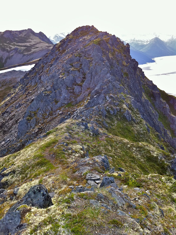
    I knew from previous reports that this ridge offered a lot more vertical and a lot more scrambling than what you can see from the road. But even so, I was surprised how much scrambling there was. I thought that once I got a mile or two past Penguin Peak, I’d be tundra-running the rest of the way. Nope. I should have known better – after all this is the Chugach. The ridge is narrow, rocky and loose enough that you need to go slow, watch your footing, and occasionally scramble, all the way from Penguin Peak until you are directly above the Girdwood turn-off on the highway.

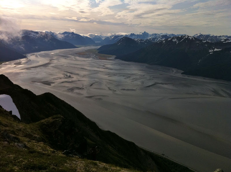
    I briefly thought about descending here, as Roman suggests. But I couldn’t resist the urge to see what was around the next corner, then the next… I’m glad I kept going, because the terrain got easier and I could move faster, as the ridge headed northeast, paralleling the road into Girdwood. The terrain is a lot more nuanced here, a wide ridge with lots of tundra-covered rises, depressions and a beautiful lake. Great for running. The scenery is better too, as you are looking away from the highway and into the heart of the Chugach.

    Headed up Penguin

    Penguin Ridge Hike – IMG_1212.JPG

    360 degrees from the top of Penguin Peak

    Penguin Ridge Hike – IMG_1214.JPG

    Penguin Ridge Hike – IMG_1215.JPG

    Penguin Ridge Hike – IMG_1217.jpg

    Penguin Ridge Hike – IMG_1222.JPG

    Penguin Ridge Hike – IMG_1225.JPG

    The best route down

    I knew that finding the California Creek trail for the descent was going to be difficult because it is very over-grown. I never did find it. After wandering above brush-line for almost an hour, I finally gave up and picked the drainage that had the shortest distance between open tundra at the top and evergreen canopy at the bottom. Once in the drainage, I found the easiest thing to do was walk in the creek. The California Creek valley is notorious for bears, so I was yelling constantly to overcome the noise of the creek. So, yes, I was doing the same thing these kids did just a few hours later up in the Talkeetnas. [ Shudder ] Just when my feet were going numb from the water, I arrived in the spruce and hemlock forest, which was open for fairly easy walking. I quickly hit “Abe’s Trail” which took me to the California Creek trailhead. It turned out to be a very mild descent by bushwhack standards, and possibly better than the overgrown trail would have been.

    I jogged into town and met the family, who had been playing at the Girdwood playground. Unfortunately for them, Dad was a little less than energetic that afternoon.

    View Map & Stats on Endomondo
    15 miles, 8 hours (includes one mile/one hour of wandering to find Ca. Creek trail)

    Notes:
    I was glad I went west to east, so that I hit the rocky stuff early when I was still fresh. I was hiking into a decent headwind the whole way, but it wasn’t a big deal. It is nice to end in Girdwood and grab some food. A classic Chugach hike, spoiled slightly by the sight and sound of Seward Highway traffic along the way.

  • Penguin Ridge Hike

    The alarm clock crowed rudely at 4:00 AM. On a Saturday. I fought back by hitting the snooze bar a couple of times.

    The Penguin Ridge hike has been on my to-do list for a long time. Tim Kelley first recommended it to me years ago. Like many other local Chugach hikes, I always figured that some weekend, when I had a little extra time, I’ll knock it off my list. But, funny thing, when you have two little rugrats there is never “extra time.” I decided to start at an ungodly hour, so that I could be back on Dad duty by lunch. I left the Bird Creek parking lot just after 5:30 AM.

    I knew from previous reports that this ridge offered a lot more vertical and a lot more scrambling than what you can see from the road. But even so, I was surprised how much scrambling there was. I thought that once I got a mile or two past Penguin Peak, I’d be tundra-running the rest of the way. Nope. I should have known better – after all this is the Chugach. The ridge is narrow, rocky and loose enough that you need to go slow, watch your footing, and occasionally scramble, all the way from Penguin Peak until you are directly above the Girdwood turn-off on the highway.

    I briefly thought about descending here, as Roman suggests. But I couldn’t resist the urge to see what was around the next corner, then the next… I’m glad I kept going, because the terrain got easier and I could move faster, as the ridge headed northeast, paralleling the road into Girdwood. The terrain is a lot more nuanced here, a wide ridge with lots of tundra-covered rises, depressions and a beautiful lake. Great for running. The scenery is better too, as you are looking away from the highway and into the heart of the Chugach.

    Headed up Penguin

    Penguin Ridge Hike – IMG_1212.JPG

    360 degrees from the top of Penguin Peak

    Penguin Ridge Hike – IMG_1214.JPG

    Penguin Ridge Hike – IMG_1215.JPG

    Penguin Ridge Hike – IMG_1217.jpg

    Penguin Ridge Hike – IMG_1222.JPG

    Penguin Ridge Hike – IMG_1225.JPG

    The best route down

    I knew that finding the California Creek trail for the descent was going to be difficult because it is very over-grown. I never did find it. After wandering above brush-line for almost an hour, I finally gave up and picked the drainage that had the shortest distance between open tundra at the top and evergreen canopy at the bottom. Once in the drainage, I found the easiest thing to do was walk in the creek. The California Creek valley is notorious for bears, so I was yelling constantly to overcome the noise of the creek. So, yes, I was doing the same thing these kids did just a few hours later up in the Talkeetnas. [ Shudder ] Just when my feet were going numb from the water, I arrived in the spruce and hemlock forest, which was open for fairly easy walking. I quickly hit “Abe’s Trail” which took me to the California Creek trailhead. It turned out to be a very mild descent by bushwhack standards, and possibly better than the overgrown trail would have been.

    I jogged into town and met the family, who had been playing at the Girdwood playground. Unfortunately for them, Dad was a little less than energetic that afternoon.

    View Map & Stats on Endomondo
    15 miles, 8 hours (includes one mile/one hour of wandering to find Ca. Creek trail)

    Notes:
    I was glad I went west to east, so that I hit the rocky stuff early when I was still fresh. I was hiking into a decent headwind the whole way, but it wasn’t a big deal. It is nice to end in Girdwood and grab some food. A classic Chugach hike, spoiled slightly by the sight and sound of Seward Highway traffic along the way.

  • Penguin Ridge Hike

    The alarm clock crowed rudely at 4:00 AM. On a Saturday. I fought back by hitting the snooze bar a couple of times.

    The Penguin Ridge hike has been on my to-do list for a long time. Tim Kelley first recommended it to me years ago. Like many other local Chugach hikes, I always figured that some weekend, when I had a little extra time, I’ll knock it off my list. But, funny thing, when you have two little rugrats there is never “extra time.” I decided to start at an ungodly hour, so that I could be back on Dad duty by lunch. I left the Bird Creek parking lot just after 5:30 AM.

    I knew from previous reports that this ridge offered a lot more vertical and a lot more scrambling than what you can see from the road. But even so, I was surprised how much scrambling there was. I thought that once I got a mile or two past Penguin Peak, I’d be tundra-running the rest of the way. Nope. I should have known better – after all this is the Chugach. The ridge is narrow, rocky and loose enough that you need to go slow, watch your footing, and occasionally scramble, all the way from Penguin Peak until you are directly above the Girdwood turn-off on the highway.

    I briefly thought about descending here, as Roman suggests. But I couldn’t resist the urge to see what was around the next corner, then the next… I’m glad I kept going, because the terrain got easier and I could move faster, as the ridge headed northeast, paralleling the road into Girdwood. The terrain is a lot more nuanced here, a wide ridge with lots of tundra-covered rises, depressions and a beautiful lake. Great for running. The scenery is better too, as you are looking away from the highway and into the heart of the Chugach.

    Headed up Penguin

    Penguin Ridge Hike – IMG_1212.JPG

    360 degrees from the top of Penguin Peak

    Penguin Ridge Hike – IMG_1214.JPG

    Penguin Ridge Hike – IMG_1215.JPG

    Penguin Ridge Hike – IMG_1217.jpg

    Penguin Ridge Hike – IMG_1222.JPG

    Penguin Ridge Hike – IMG_1225.JPG

    The best route down

    I knew that finding the California Creek trail for the descent was going to be difficult because it is very over-grown. I never did find it. After wandering above brush-line for almost an hour, I finally gave up and picked the drainage that had the shortest distance between open tundra at the top and evergreen canopy at the bottom. Once in the drainage, I found the easiest thing to do was walk in the creek. The California Creek valley is notorious for bears, so I was yelling constantly to overcome the noise of the creek. So, yes, I was doing the same thing these kids did just a few hours later up in the Talkeetnas. [ Shudder ] Just when my feet were going numb from the water, I arrived in the spruce and hemlock forest, which was open for fairly easy walking. I quickly hit “Abe’s Trail” which took me to the California Creek trailhead. It turned out to be a very mild descent by bushwhack standards, and possibly better than the overgrown trail would have been.

    I jogged into town and met the family, who had been playing at the Girdwood playground. Unfortunately for them, Dad was a little less than energetic that afternoon.

    View Map & Stats on Endomondo
    15 miles, 8 hours (includes one mile/one hour of wandering to find Ca. Creek trail)

    Notes:
    I was glad I went west to east, so that I hit the rocky stuff early when I was still fresh. I was hiking into a decent headwind the whole way, but it wasn’t a big deal. It is nice to end in Girdwood and grab some food. A classic Chugach hike, spoiled slightly by the sight and sound of Seward Highway traffic along the way.

  • Penguin Ridge Hike

    The alarm clock crowed rudely at 4:00 AM. On a Saturday. I fought back by hitting the snooze bar a couple of times.

    The Penguin Ridge hike has been on my to-do list for a long time. Tim Kelley first recommended it to me years ago. Like many other local Chugach hikes, I always figured that some weekend, when I had a little extra time, I’ll knock it off my list. But, funny thing, when you have two little rugrats there is never “extra time.” I decided to start at an ungodly hour, so that I could be back on Dad duty by lunch. I left the Bird Creek parking lot just after 5:30 AM.

    I knew from previous reports that this ridge offered a lot more vertical and a lot more scrambling than what you can see from the road. But even so, I was surprised how much scrambling there was. I thought that once I got a mile or two past Penguin Peak, I’d be tundra-running the rest of the way. Nope. I should have known better – after all this is the Chugach. The ridge is narrow, rocky and loose enough that you need to go slow, watch your footing, and occasionally scramble, all the way from Penguin Peak until you are directly above the Girdwood turn-off on the highway.

    I briefly thought about descending here, as Roman suggests. But I couldn’t resist the urge to see what was around the next corner, then the next… I’m glad I kept going, because the terrain got easier and I could move faster, as the ridge headed northeast, paralleling the road into Girdwood. The terrain is a lot more nuanced here, a wide ridge with lots of tundra-covered rises, depressions and a beautiful lake. Great for running. The scenery is better too, as you are looking away from the highway and into the heart of the Chugach.

    Headed up Penguin

    Penguin Ridge Hike – IMG_1212.JPG

    360 degrees from the top of Penguin Peak

    Penguin Ridge Hike – IMG_1214.JPG

    Penguin Ridge Hike – IMG_1215.JPG

    Penguin Ridge Hike – IMG_1217.jpg

    Penguin Ridge Hike – IMG_1222.JPG

    Penguin Ridge Hike – IMG_1225.JPG

    The best route down

    I knew that finding the California Creek trail for the descent was going to be difficult because it is very over-grown. I never did find it. After wandering above brush-line for almost an hour, I finally gave up and picked the drainage that had the shortest distance between open tundra at the top and evergreen canopy at the bottom. Once in the drainage, I found the easiest thing to do was walk in the creek. The California Creek valley is notorious for bears, so I was yelling constantly to overcome the noise of the creek. So, yes, I was doing the same thing these kids did just a few hours later up in the Talkeetnas. [ Shudder ] Just when my feet were going numb from the water, I arrived in the spruce and hemlock forest, which was open for fairly easy walking. I quickly hit “Abe’s Trail” which took me to the California Creek trailhead. It turned out to be a very mild descent by bushwhack standards, and possibly better than the overgrown trail would have been.

    I jogged into town and met the family, who had been playing at the Girdwood playground. Unfortunately for them, Dad was a little less than energetic that afternoon.

    View Map & Stats on Endomondo
    15 miles, 8 hours (includes one mile/one hour of wandering to find Ca. Creek trail)

    Notes:
    I was glad I went west to east, so that I hit the rocky stuff early when I was still fresh. I was hiking into a decent headwind the whole way, but it wasn’t a big deal. It is nice to end in Girdwood and grab some food. A classic Chugach hike, spoiled slightly by the sight and sound of Seward Highway traffic along the way.

  • Penguin Ridge Hike

    The alarm clock crowed rudely at 4:00 AM. On a Saturday. I fought back by hitting the snooze bar a couple of times.

    The Penguin Ridge hike has been on my to-do list for a long time. Tim Kelley first recommended it to me years ago. Like many other local Chugach hikes, I always figured that some weekend, when I had a little extra time, I’ll knock it off my list. But, funny thing, when you have two little rugrats there is never “extra time.” I decided to start at an ungodly hour, so that I could be back on Dad duty by lunch. I left the Bird Creek parking lot just after 5:30 AM.

    I knew from previous reports that this ridge offered a lot more vertical and a lot more scrambling than what you can see from the road. But even so, I was surprised how much scrambling there was. I thought that once I got a mile or two past Penguin Peak, I’d be tundra-running the rest of the way. Nope. I should have known better – after all this is the Chugach. The ridge is narrow, rocky and loose enough that you need to go slow, watch your footing, and occasionally scramble, all the way from Penguin Peak until you are directly above the Girdwood turn-off on the highway.

    I briefly thought about descending here, as Roman suggests. But I couldn’t resist the urge to see what was around the next corner, then the next… I’m glad I kept going, because the terrain got easier and I could move faster, as the ridge headed northeast, paralleling the road into Girdwood. The terrain is a lot more nuanced here, a wide ridge with lots of tundra-covered rises, depressions and a beautiful lake. Great for running. The scenery is better too, as you are looking away from the highway and into the heart of the Chugach.

    I knew that finding the California Creek trail for the descent was going to be difficult because it is very over-grown. I never did find it. After wandering above brush-line for almost an hour, I finally gave up and picked the drainage that had the shortest distance between open tundra at the top and evergreen canopy at the bottom. Once in the drainage, I found the easiest thing to do was walk in the creek. The California Creek valley is notorious for bears, so I was yelling constantly to overcome the noise of the creek. So, yes, I was doing the same thing these kids did just a few hours later up in the Talkeetnas. [ Shudder ] Just when my feet were going numb from the water, I arrived in the spruce and hemlock forest, which was open for fairly easy walking. I quickly hit “Abe’s Trail” which took me to the California Creek trailhead. It turned out to be a very mild descent by bushwhack standards, and possibly better than the overgrown trail would have been.

    I jogged into town and met the family, who had been playing at the Girdwood playground. Unfortunately for them, Dad was a little less than energetic that afternoon.

    View Map & Stats on Endomondo
    15 miles, 8 hours (includes one mile/one hour of wandering to find Ca. Creek trail)

    Notes:
    I was glad I went west to east, so that I hit the rocky stuff early when I was still fresh. I was hiking into a decent headwind the whole way, but it wasn’t a big deal. It is nice to end in Girdwood and grab some food. A classic Chugach hike, spoiled slightly by the sight and sound of Seward Highway traffic along the way.

  • Penguin Ridge Hike

    The alarm clock crowed rudely at 4:00 AM. On a Saturday. I fought back by hitting the snooze bar a couple of times.

    The Penguin Ridge hike has been on my to-do list for a long time. Tim Kelley first recommended it to me years ago. Like many other local Chugach hikes, I always figured that some weekend, when I had a little extra time, I’ll knock it off my list. But, funny thing, when you have two little rugrats there is never “extra time.” I decided to start at an ungodly hour, so that I could be back on Dad duty by lunch. I left the Bird Creek parking lot just after 5:30 AM.

    I knew from previous reports that this ridge offered a lot more vertical and a lot more scrambling than what you can see from the road. But even so, I was surprised how much scrambling there was. I thought that once I got a mile or two past Penguin Peak, I’d be tundra-running the rest of the way. Nope. I should have known better – after all this is the Chugach. The ridge is narrow, rocky and loose enough that you need to go slow, watch your footing, and occasionally scramble, all the way from Penguin Peak until you are directly above the Girdwood turn-off on the highway.

    I briefly thought about descending here, as Roman suggests. But I couldn’t resist the urge to see what was around the next corner, then the next… I’m glad I kept going, because the terrain got easier and I could move faster, as the ridge headed northeast, paralleling the road into Girdwood. The terrain is a lot more nuanced here, a wide ridge with lots of tundra-covered rises, depressions and a beautiful lake. Great for running. The scenery is better too, as you are looking away from the highway and into the heart of the Chugach.

    Headed up Penguin

    Penguin Ridge Hike – IMG_1212.JPG

    360 degrees from the top of Penguin Peak

    Penguin Ridge Hike – IMG_1214.JPG

    Penguin Ridge Hike – IMG_1215.JPG

    Penguin Ridge Hike – IMG_1217.jpg

    Penguin Ridge Hike – IMG_1222.JPG

    Penguin Ridge Hike – IMG_1225.JPG

    The best route down

    I knew that finding the California Creek trail for the descent was going to be difficult because it is very over-grown. I never did find it. After wandering above brush-line for almost an hour, I finally gave up and picked the drainage that had the shortest distance between open tundra at the top and evergreen canopy at the bottom. Once in the drainage, I found the easiest thing to do was walk in the creek. The California Creek valley is notorious for bears, so I was yelling constantly to overcome the noise of the creek. So, yes, I was doing the same thing these kids did just a few hours later up in the Talkeetnas. [ Shudder ] Just when my feet were going numb from the water, I arrived in the spruce and hemlock forest, which was open for fairly easy walking. I quickly hit “Abe’s Trail” which took me to the California Creek trailhead. It turned out to be a very mild descent by bushwhack standards, and possibly better than the overgrown trail would have been.

    I jogged into town and met the family, who had been playing at the Girdwood playground. Unfortunately for them, Dad was a little less than energetic that afternoon.

    View Map & Stats on Endomondo
    15 miles, 8 hours (includes one mile/one hour of wandering to find Ca. Creek trail)

    Notes:
    I was glad I went west to east, so that I hit the rocky stuff early when I was still fresh. I was hiking into a decent headwind the whole way, but it wasn’t a big deal. It is nice to end in Girdwood and grab some food. A classic Chugach hike, spoiled slightly by the sight and sound of Seward Highway traffic along the way.

  • Adventure Apps

    On Sunday I needed to be in Girdwood for dinner, but I had just enough time for a short hike on the way there. I decided to go up Rainbow, which is one of my favorites along Turnagain Arm.

    The hike was great, with oodles of unexpected sunshine. I didn’t bring a camera, but when I got to the top, I whipped out my phone and took this picture (click and drag the picture to spin 360 degrees):

    Click here for a full screen version.

    It took me a long time to succumb to getting a smartphone, but I really enjoy how easy it makes documenting my trips. No longer do I need a camera, cell phone and GPS in my pack (though I still carry a better camera on occasion). It took me about 30 seconds to snap this picture, and it uploaded to the web as I began my decent. The quality is not a good as some of the panoramas I’ve stitched together in Photoshop, but for quick little trips like this it works great.

    While we’re on the subject, I’ll share my absolute favorite smartphone app: Endomondo.

    This embedded map of my Rainbow hike is very cramped, click here for a full screen version.

    Maybe its a hold-over from my years of keeping a training log, or maybe its my fascination with maps, but I love to document my routes. Endomondo makes it easy to map your routes and see all the vital statitics of your workout. It’s as easy as using a stopwatch. There are many, many apps that do this, but Endomondo is my favorite. (In truth, they won me over when I saw that they had both “Roller skiing” and “Orienteering” as workout types.) So now I can keep a record of all my workouts with minimal effort.

    One additional cool feature is Live Tracking via the web when you are within cell phone range. So if I get “lost” and my 45 minute run somehow turns into 2 hours (when I am supposed to be watching the kids and cooking dinner), my wife can see exactly where I am (and thus be mad instead of worried). Well, sometimes its a cool feature. Of course, there are privacy settings so you can control who sees your maps.

    Oh, and if you try Endomondo, make sure you add me as a “friend.” It is surprisingly motivating to see other peoples workouts. I added this Rainbow hike as a public route, which means you can try to beat my time and become Route Champion! Wahoo!

  • Adventure Apps

    On Sunday I needed to be in Girdwood for dinner, but I had just enough time for a short hike on the way there. I decided to go up Rainbow, which is one of my favorites along Turnagain Arm.

    The hike was great, with oodles of unexpected sunshine. I didn’t bring a camera, but when I got to the top, I whipped out my phone and took this picture (click and drag the picture to spin 360 degrees):

    Click here for a full screen version.

    It took me a long time to succumb to getting a smartphone, but I really enjoy how easy it makes documenting my trips. No longer do I need a camera, cell phone and GPS in my pack (though I still carry a better camera on occasion). It took me about 30 seconds to snap this picture, and it uploaded to the web as I began my decent. The quality is not a good as some of the panoramas I’ve stitched together in Photoshop, but for quick little trips like this it works great.

    While we’re on the subject, I’ll share my absolute favorite smartphone app: Endomondo.

    This embedded map of my Rainbow hike is very cramped, click here for a full screen version.

    Maybe its a hold-over from my years of keeping a training log, or maybe its my fascination with maps, but I love to document my routes. Endomondo makes it easy to map your routes and see all the vital statitics of your workout. It’s as easy as using a stopwatch. There are many, many apps that do this, but Endomondo is my favorite. (In truth, they won me over when I saw that they had both “Roller skiing” and “Orienteering” as workout types.) So now I can keep a record of all my workouts with minimal effort.

    One additional cool feature is Live Tracking via the web when you are within cell phone range. So if I get “lost” and my 45 minute run somehow turns into 2 hours (when I am supposed to be watching the kids and cooking dinner), my wife can see exactly where I am (and thus be mad instead of worried). Well, sometimes its a cool feature. Of course, there are privacy settings so you can control who sees your maps.

    Oh, and if you try Endomondo, make sure you add me as a “friend.” It is surprisingly motivating to see other peoples workouts. I added this Rainbow hike as a public route, which means you can try to beat my time and become Route Champion! Wahoo!

  • Adventure Apps

    On Sunday I needed to be in Girdwood for dinner, but I had just enough time for a short hike on the way there. I decided to go up Rainbow, which is one of my favorites along Turnagain Arm.

    The hike was great, with oodles of unexpected sunshine. I didn’t bring a camera, but when I got to the top, I whipped out my phone and took this picture (click and drag the picture to spin 360 degrees):

    Click here for a full screen version.

    It took me a long time to succumb to getting a smartphone, but I really enjoy how easy it makes documenting my trips. No longer do I need a camera, cell phone and GPS in my pack (though I still carry a better camera on occasion). It took me about 30 seconds to snap this picture, and it uploaded to the web as I began my decent. The quality is not a good as some of the panoramas I’ve stitched together in Photoshop, but for quick little trips like this it works great.

    While we’re on the subject, I’ll share my absolute favorite smartphone app: Endomondo.

    This embedded map of my Rainbow hike is very cramped, click here for a full screen version.

    Maybe its a hold-over from my years of keeping a training log, or maybe its my fascination with maps, but I love to document my routes. Endomondo makes it easy to map your routes and see all the vital statitics of your workout. It’s as easy as using a stopwatch. There are many, many apps that do this, but Endomondo is my favorite. (In truth, they won me over when I saw that they had both “Roller skiing” and “Orienteering” as workout types.) So now I can keep a record of all my workouts with minimal effort.

    One additional cool feature is Live Tracking via the web when you are within cell phone range. So if I get “lost” and my 45 minute run somehow turns into 2 hours (when I am supposed to be watching the kids and cooking dinner), my wife can see exactly where I am (and thus be mad instead of worried). Well, sometimes its a cool feature. Of course, there are privacy settings so you can control who sees your maps.

    Oh, and if you try Endomondo, make sure you add me as a “friend.” It is surprisingly motivating to see other peoples workouts. I added this Rainbow hike as a public route, which means you can try to beat my time and become Route Champion! Wahoo!

  • Adventure Apps

    On Sunday I needed to be in Girdwood for dinner, but I had just enough time for a short hike on the way there. I decided to go up Rainbow, which is one of my favorites along Turnagain Arm.

    The hike was great, with oodles of unexpected sunshine. I didn’t bring a camera, but when I got to the top, I whipped out my phone and took this picture (click and drag the picture to spin 360 degrees):

    Click here for a full screen version.

    It took me a long time to succumb to getting a smartphone, but I really enjoy how easy it makes documenting my trips. No longer do I need a camera, cell phone and GPS in my pack (though I still carry a better camera on occasion). It took me about 30 seconds to snap this picture, and it uploaded to the web as I began my decent. The quality is not a good as some of the panoramas I’ve stitched together in Photoshop, but for quick little trips like this it works great.

    While we’re on the subject, I’ll share my absolute favorite smartphone app: Endomondo.

    This embedded map of my Rainbow hike is very cramped, click here for a full screen version.

    Maybe its a hold-over from my years of keeping a training log, or maybe its my fascination with maps, but I love to document my routes. Endomondo makes it easy to map your routes and see all the vital statitics of your workout. It’s as easy as using a stopwatch. There are many, many apps that do this, but Endomondo is my favorite. (In truth, they won me over when I saw that they had both “Roller skiing” and “Orienteering” as workout types.) So now I can keep a record of all my workouts with minimal effort.

    One additional cool feature is Live Tracking via the web when you are within cell phone range. So if I get “lost” and my 45 minute run somehow turns into 2 hours (when I am supposed to be watching the kids and cooking dinner), my wife can see exactly where I am (and thus be mad instead of worried). Well, sometimes its a cool feature. Of course, there are privacy settings so you can control who sees your maps.

    Oh, and if you try Endomondo, make sure you add me as a “friend.” It is surprisingly motivating to see other peoples workouts. I added this Rainbow hike as a public route, which means you can try to beat my time and become Route Champion! Wahoo!

  • Crust Season 2011

    Crust skiing is hard to predict. That is part of the attraction, and it adds to the thrill when you nail a perfect crust day.

    2011 was a relatively low snow year in southcentral Alaska, and it seemed that the general consensus was that the lack of snow would result in a poor crust season. But snow is only one factor that goes into baking good crust. Clear, sunny weather is just as important, and April this year had a lot of clear, sunny weather. As a result, there was a lot of good crust to be found this spring. It just goes to show that we should never try to predict crust conditions more than 12 hours in advance.

    But the predictions were right about one thing – my crust season wasn’t very good. The sunny weather just didn’t seem to mesh with my schedule. This is why I am continuing my campaign to make every sunny day in April a state holiday.

    But I did get out a few times to the usual spots: Portage, Center Creek, Glen Alps. And last weekend, Tim’s photos tempted Bill, Chris and I into a great day at Dogsled Pass.

    Here is a “quick hits” photo gallery of my crust season 2011:


    Center Creek

     
  • Crust Season 2011

    Crust skiing is hard to predict. That is part of the attraction, and it adds to the thrill when you nail a perfect crust day.

    2011 was a relatively low snow year in southcentral Alaska, and it seemed that the general consensus was that the lack of snow would result in a poor crust season. But snow is only one factor that goes into baking good crust. Clear, sunny weather is just as important, and April this year had a lot of clear, sunny weather. As a result, there was a lot of good crust to be found this spring. It just goes to show that we should never try to predict crust conditions more than 12 hours in advance.

    But the predictions were right about one thing – my crust season wasn’t very good. The sunny weather just didn’t seem to mesh with my schedule. This is why I am continuing my campaign to make every sunny day in April a state holiday.

    But I did get out a few times to the usual spots: Portage, Center Creek, Glen Alps. And last weekend, Tim’s photos tempted Bill, Chris and I into a great day at Dogsled Pass.

    Here is a “quick hits” photo gallery of my crust season 2011:


    Center Creek