This is an article I did recently for livinginperu.com about my Inca Trail adventure with Roberto Carcelen and Martin Koukal. I’ll be giving you some more insider information on this in upcoming posts.
Peru’s first winter Olympian, Roberto Carcelen, called me up recently with the question I dread to hear from professional athletes.
“Hey, what’s your fitness level?”
For the record, my fitness
Category: XCFeeds
A collection of live feeds from cross-country ski blogs around the web.
-
Running the Inca Trail With Two Olympians
-
Running the Inca Trail With Two Olympians
This is an article I did recently for livinginperu.com about my Inca Trail adventure with Roberto Carcelen and Martin Koukal. I’ll be giving you some more insider information on this in upcoming posts.
Peru’s first winter Olympian, Roberto Carcelen, called me up recently with the question I dread to hear from professional athletes.
“Hey, what’s your fitness level?”
For the record, my fitness -
Running the Inca Trail With Two Olympians
This is an article I did recently for livinginperu.com about my Inca Trail adventure with Roberto Carcelen and Martin Koukal. I’ll be giving you some more insider information on this in upcoming posts.
Peru’s first winter Olympian, Roberto Carcelen, called me up recently with the question I dread to hear from professional athletes.
“Hey, what’s your fitness level?”
For the record, my fitness -
On the ridge between Wolverine and Elliot
Another great ridgeline in Chugach State Park, excellent views of the front range.
Click here for a full screen version.
Thanks to Ian and Josh for waiting for me. Not my best day.
-
On the ridge between Wolverine and Elliot
Another great ridgeline in Chugach State Park, excellent views of the front range.
Click here for a full screen version.
Thanks to Ian and Josh for waiting for me. Not my best day.
-
On the ridge between Wolverine and Elliot
Another great ridgeline in Chugach State Park, excellent views of the front range.
Click here for a full screen version.
Thanks to Ian and Josh for waiting for me. Not my best day.
-
On the ridge between Wolverine and Elliot
Another great ridgeline in Chugach State Park, excellent views of the front range.
Click here for a full screen version.
Thanks to Ian and Josh for waiting for me. Not my best day.
-
They Did It !
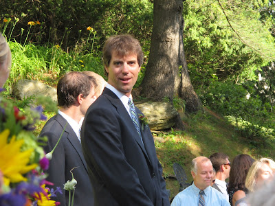 Waiting nervously.
 Ah ha, here she comes.
Mr. and Mrs Boobar.
Congratulations Matt and Kate ! -
Bald Mountain Ridge Crust Skiing
Bald Mountain Ridge north of Wasilla, Alaska in the Talkeena Mountains can be tough to get to during crust skiing season. I had wanted to ski this area for a long time. I finally managed to get up on the ridge when the crust skiing was good.
-
How Often Do Ties Occur?
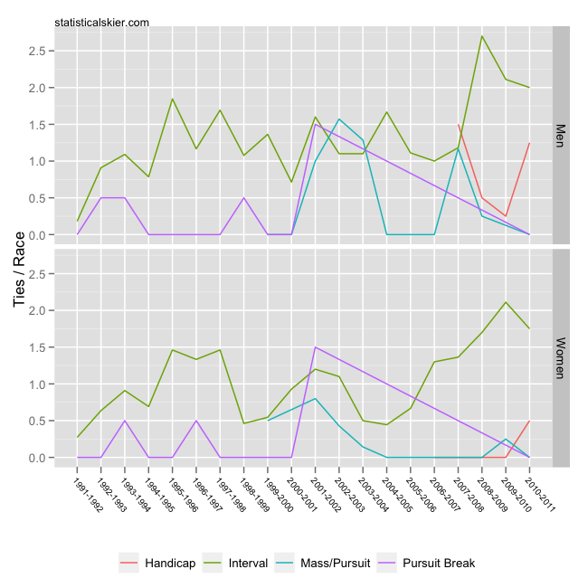
With the modern chip timing tools used today ties should be fairly rare. They do still happen, though:
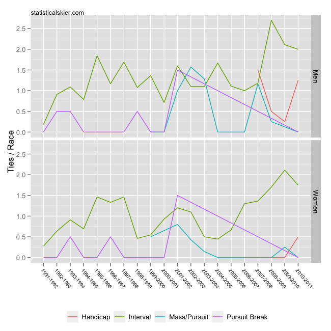 This shows the number of ties per race of each type for WC, OWG, WSC and TDS races for men and women. As we might have expected, there are considerably fewer ties in mass start style races. Amusingly, this is almost certainly entirely psychological. In a mass start or pursuit race you can see the person who’s going to finish with nearly the same time right there next to you! In an interval start race it’s harder to motivate to sprint the last 10 meters when there’s no one around. It shouldn’t be harder, but it is.
Don’t read too much in the Pursuit Break line. That format is really only used in stage races these days, and even then it’s quite rare. The seemingly big jump in 2001-2002 is not terribly ‘significant’, since that format was only ever used ~2 times a season for each gender. With such a small denominator, a small change in the number of ties can make the rate seem to jump a lot.
What’s more interesting to me is the apparent increase in the rate of ties in interval start races. The trend is more noticeable among the women, but the fact that the rates for both men and women have jumped up somewhat may be significant. I can’t think of a good ‘story’ to explain why this may be, though. It could always just be noise, of course, but it’s interesting to ponder…
Related posts:
-
Recovery
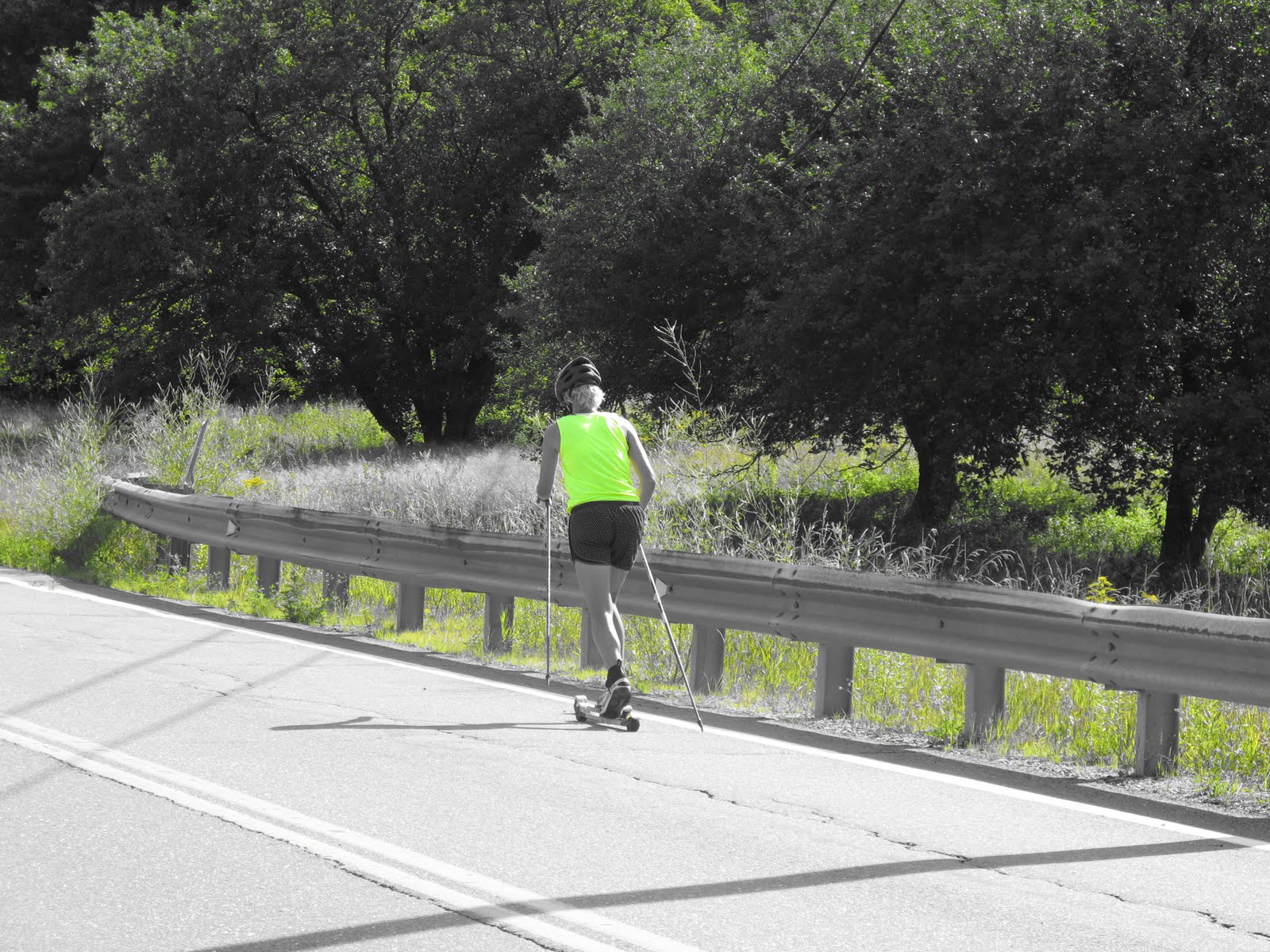
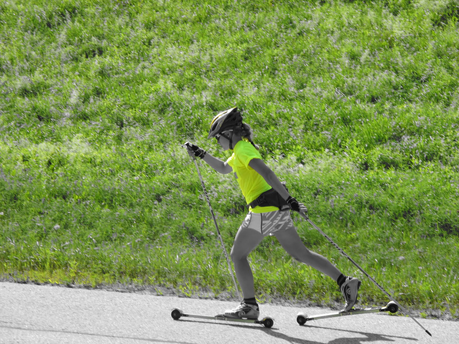
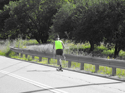
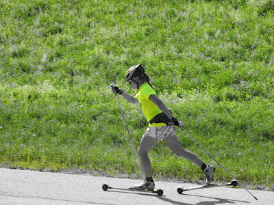
 We had another beautiful day for our d-pole distance workout this morning. 2 hours of upper body work isn’t too bad when the temps are in the low 60’s!
Most of the crew is pretty well recovered from last week, but some are still tired. As coaches, we try to have the group doing similar workouts so they can work together and we can monitor them. During easy periods, this is simple because everyone feels good. When we ramp up training, it is very important to individualize. The goal is to stress the system and then allow it to recover and build up stronger. There are a bunch of tricks to allow us to do more like alternating upper and lower body stress, following hard days with easy days etc, But.. it is very important for the athletes to be realistic and allow adequate recovery. Without recovery, you just tear yourself down. Since last week was tough for everyone, this week will be easy to very easy. The goal for this week is to feel good by Sunday.



-
Salutations!
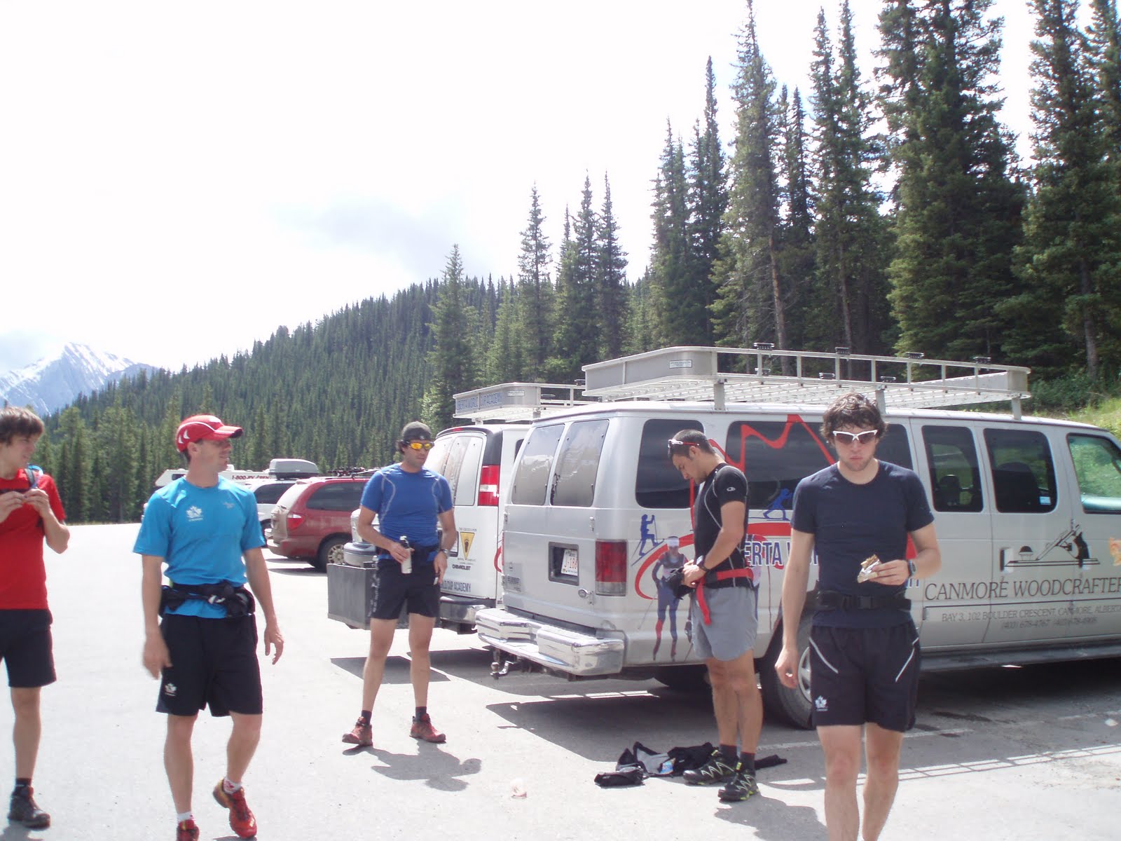
I have not disappeared, fallen off the face of the earth or been hiding under a rock… Nope! I have been training hard, working my butt off and enjoying a wicked Canmore summer in the Rockies! Since my last update, we have had 3 training camps, a testing week and some easy weeks. The first training camp since I updated everyone was a 4 day trip to Kaslo. I took the opportunity to get a little time in on the motorcycle and road by bike from Canmore, meeting the team and all the gear in Kaslo. The camp was focused around a 216km road ride known as the Silver Triangle. The ride began in Kaslo, and headed up over a pass to New Denver, then south to Nelson, and then back up to Kaslo.
(Counter clockwise starting from the upper right hand side of the map below)
It was a pretty amazing ride, taking just under 7 hrs to complete. The rest of the camp was spent roller skiing, (heading from Kaslo up over the pass to New Denver is one of the best double pole roads I have ever skied!) eating and sleeping. This camp was also the first time the whole team had been together this year, so we celebrated by having one of our by-annual AWCA baseball games. Overall it was a great camp; good training, fun atmosphere, neat town.
The next few weeks were filled with regular training around Canmore. I was lucky enough again this year to house sit for the Lavoie – Jones family. That also meant taking care of their amazing dog Skoki. Skoki became my training partner for the month, accompanying me on long runs, hikes and the odd mountain bike. Below are some pictures of a hike Emma and I did the Skoki and Max (Emma’s dog) in Canmore. We headed up Ha Ling peak, and once we reached the saddle, went right and went to the top of Miners Peak. As you can see by the pictures below, it was another sweet day in Canmore!
 On the saddle before heading up to Miners (right)
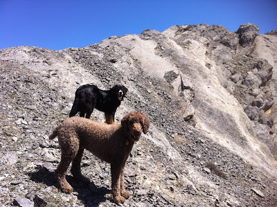 Max and Skoki waiting for the slow humans.
 Looking down on the Bow Valley from Miners.
 Emma and Max
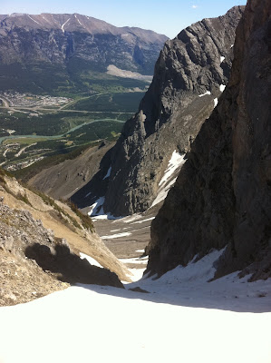 Miners Gully. You could still ski it on rock skis!
 Skoki enjoying herself.The next team training camp was our trip up to the Haig Glacier. The AWCA team split up our camp over two weeks, spending 4 days up at altitude on the glacier, coming down for 4 days, back up for 4 and then down for 4. (This has been referred to as a yo-yo camp)
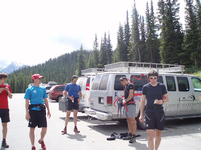 The guys getting ready to leave the trail-head for the run in.
 This is what the run into the camp looks like on Google Earth. We start at the perking lot between Upper and Lower Kananaskis Lakes, and end 18km later at the green bubble dot which is the base camp. From the green bubble dot up is the hike we do to the glacier every morning.
 This is what the loop we ski on the glacier look like!
 Another aerial view, just because I think this program is super cool!! Thanks to Barb Campbell who is still “loaning” me her Garmin Forerunner 305. I record everything on that and then upload it into Garmin Training Centre and then export everything into Google Earth.
 This is a photo from the run in. There was still quite a bit of snow down low.
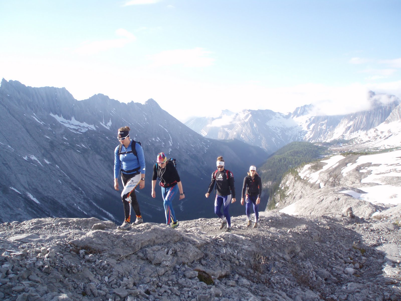
 Kate, Janelle and Marlis hiking up to the Haig from base camp on a sunny morning.
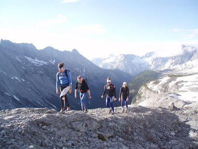 Academy girls
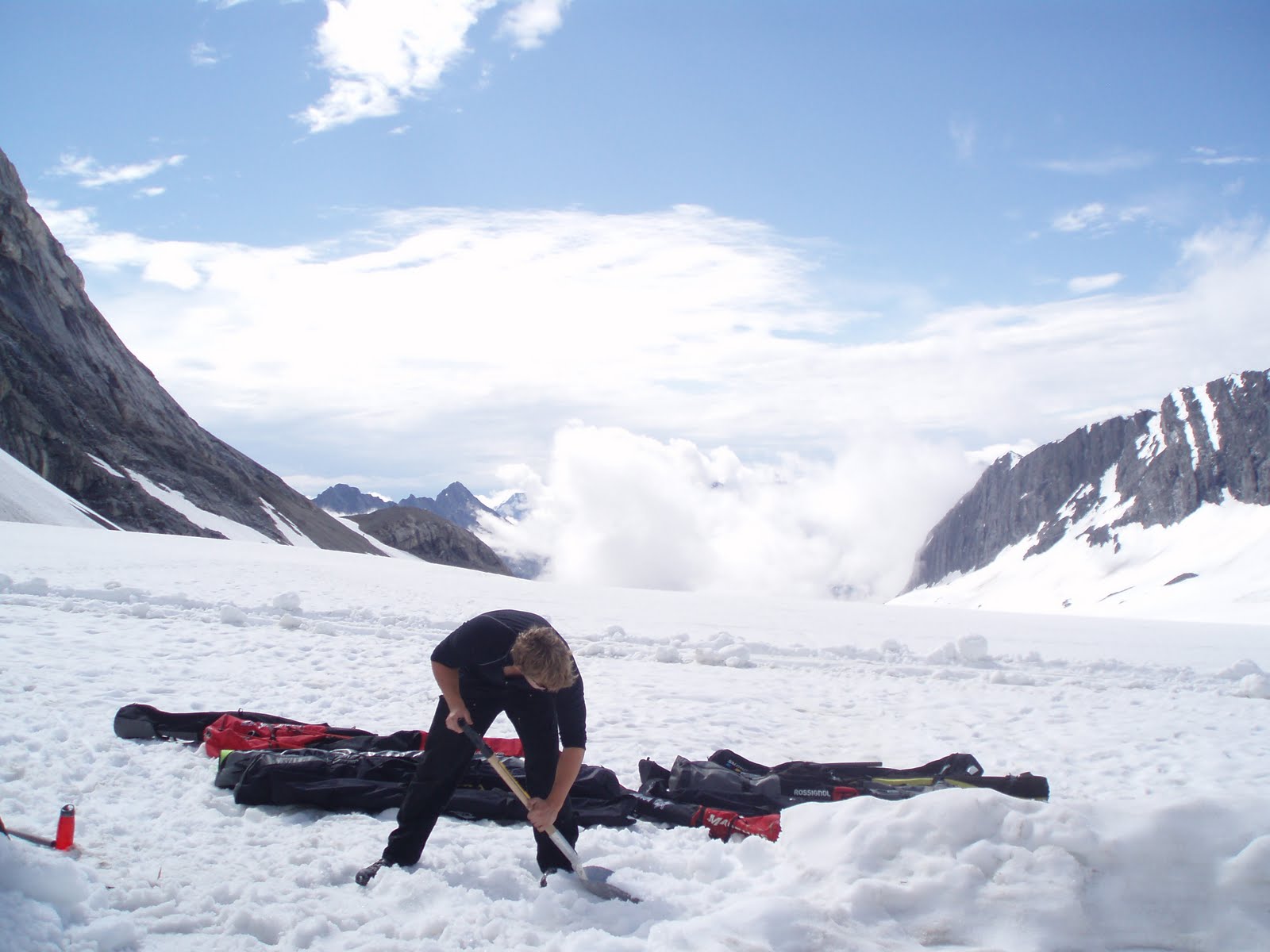
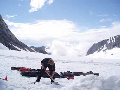 Evan Bruce, one of the Haig Glacier attendants working hard digging a hole.
 Skiing above the clouds in sunshine at 2700m (8850ft)During both glacier camps we had a mixed bag of weather. Sunshine one day, snow, rain, hail and sleet the next. The skiing remained good throughout the two weeks, and we all accomplished a lot physically and technically. Big thanks goes out to Stef, Chris and Eric (our AWCA coaches for the camp) for putting on such a good show and keeping us athletes happy!Another big highlight of the past month was the 2 week visit from my dad! He was able to take some time off work and come out and help me house sit. We had two full weeks to hang out, do some exploring and relax! I am pretty sure the highlight of his trip was his first full day in Canmore. I am moving up (slowly) in the work world and I am now the Coordinator for the Haig Glacier. That means I organize the camp schedule, get waivers signed and the best part of all, get to play with helicopters every Monday!! I take all the food and bags and load them into nets to be flown into the glacier. Anyway, back on track, my dads first day in town also happened to be my first training day and he was allowed to come along for the ride! Below is a video I quickly put together of the trip. (Warning, there is no dialogue, and for those that have been up to the Glacier, it will be 5:00 of shaky video footage of the Glacier and surrounding areas, BUT, for all those who haven’t had a chance to go up there, it should give you a pretty good idea of how amazing it is!) ENJOY!
 Father in flight.
 Two pumped dudes!
 -
Register now for the Birkie and City of Lakes Loppet – Price hike after July 31!
Register for the Birkie, and the sweet taste of a Birkie finish on Main Street will be in your future! Don’t wait!
It’s late July, and already time to start registering for the coming winter’s big ski races. Think about it, snowflakes are only about 3 months away – great news for us skiers (not so great for those who don’t like snow, yes I’ll probably get a few hater comments for my
-
Register now for the Birkie and City of Lakes Loppet – Price hike after July 31!
Register for the Birkie, and the sweet taste of a Birkie finish on Main Street will be in your future! Don’t wait!
It’s late July, and already time to start registering for the coming winter’s big ski races. Think about it, snowflakes are only about 3 months away – great news for us skiers (not so great for those who don’t like snow, yes I’ll probably get a few hater comments for my
-
Register now for the Birkie and City of Lakes Loppet – Price hike after July 31!
Register for the Birkie, and the sweet taste of a Birkie finish on Main Street will be in your future! Don’t wait!
It’s late July, and already time to start registering for the coming winter’s big ski races. Think about it, snowflakes are only about 3 months away – great news for us skiers (not so great for those who don’t like snow, yes I’ll probably get a few hater comments for my
-
SMS Video Chosen Among Top 5
The USST women asked summer training groups around the US to put together 3 minute video clips for a contest to show their groups in action. 24 video entries were submitted and they are all fun and entertaining. The USST women then narrowed the list to 5 finalists and asked the ski world to vote.
Tyler Foulkes filmed our summer crew in action and submitted a short film and our video has made the final 5!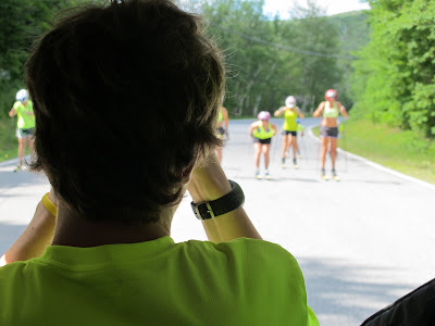
One of the neat things about our group is that it includes a wide range of skiers, from BKL age through college skiers. We set up group training so the youngsters can train alongside college skiers (we have girls from Dartmouth, Bates, UVM, UNH, MSU and Middlebury).
The biggest goal of the video challenge was to excite skiers. It is working, we have had over 1,000 people view our video.
If you would like to see the top five videos and vote, click here. You will have to scroll down the page a little to see the videos. Of course we would love your vote, but we encourage you to view them all and vote for your favorite.
If you would just like to see our video, click here .
-
FIS Point Trends In Olympic Medalists
A while back I responded to a reader requesting that I look into any connections between a skier’s performance at World Juniors and subsequent medal winning. My conclusions there tended toward the ambiguous, since 2-4 races (from World Juniors) just isn’t a whole lot of information.
But we can also just take medalists and look at how they’ve skied at different ages. It’s very important to remember that this is inherently one sided: we’re ignoring all sorts of skiers who might have skied just as fast as these medalists at a young age but never won a medal. If you’re a math geek you’ll recognize this as a distinction between a necessary and a sufficient condition.
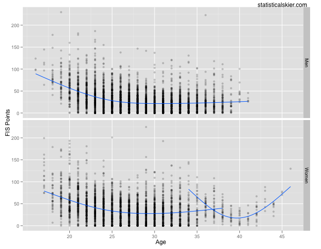
I grabbed all the Olympic and World Champs distance medalists since the 2001-2002 season and plotted all of their FIS points (from every race I have):
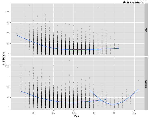 What’s with the third trend line, you ask? Well, as usual, Hilde Pedersen deserves her own category. The (non-Hilde Pedersen) trend lines are averaging over skiers and also over all of each skiers results at each age. So while this does tell us that fast skiers can, on occasion, ski slowly (at every age), maybe it’s a bit too cluttered.
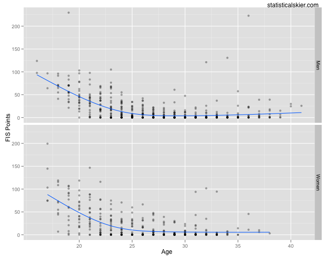
Instead, let’s go back and grab each athletes best result at each age:
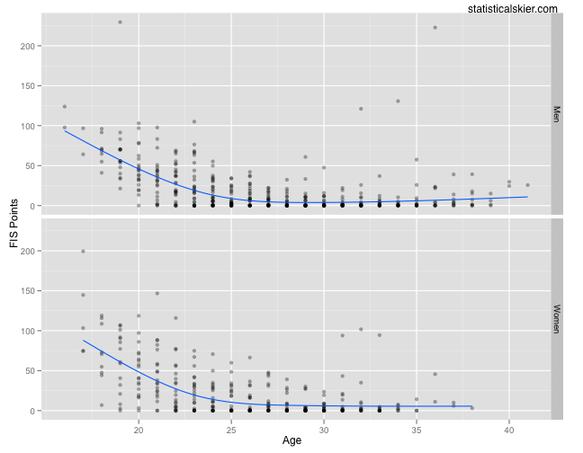 I’ve removed Hilde Pedersen.
Some future medalists were topping out above 50 FIS points before age 25, but not many. Both trend lines dip below 25 FIS points by age 23.
In some ways, this kind of analysis is dangerous because it would be irresponsible based on this data to imply that if you haven’t achieved a sub-25 FIS point result by age 25 you’re unlikely to win a medal. (Tempting, but irresponsible.) What I do like about being concrete like this is that it can provide younger athletes with some concrete goals based on fast skiers who’ve come before them. Namely, shooting for a sub-25 FIS point result.
Related posts:
-
Penguin Ridge Hike
The alarm clock crowed rudely at 4:00 AM. On a Saturday. I fought back by hitting the snooze bar a couple of times.
The Penguin Ridge hike has been on my to-do list for a long time. Tim Kelley first recommended it to me years ago. Like many other local Chugach hikes, I always figured that some weekend, when I had a little extra time, I’ll knock it off my list. But, funny thing, when you have two little rugrats there is never “extra time.” I decided to start at an ungodly hour, so that I could be back on Dad duty by lunch. I left the Bird Creek parking lot just after 5:30 AM.
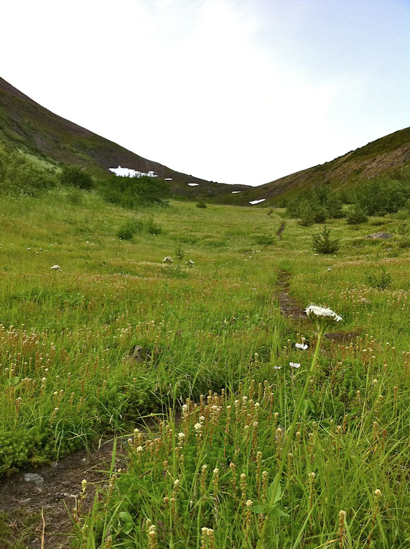
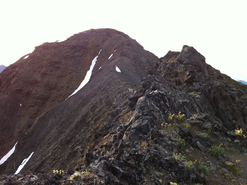
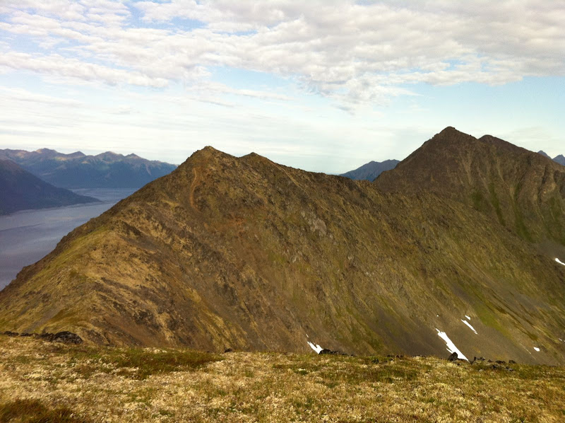
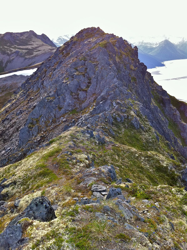
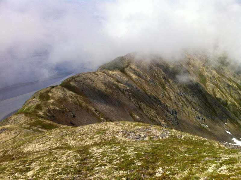
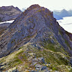
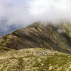
I knew from previous reports that this ridge offered a lot more vertical and a lot more scrambling than what you can see from the road. But even so, I was surprised how much scrambling there was. I thought that once I got a mile or two past Penguin Peak, I’d be tundra-running the rest of the way. Nope. I should have known better – after all this is the Chugach. The ridge is narrow, rocky and loose enough that you need to go slow, watch your footing, and occasionally scramble, all the way from Penguin Peak until you are directly above the Girdwood turn-off on the highway.
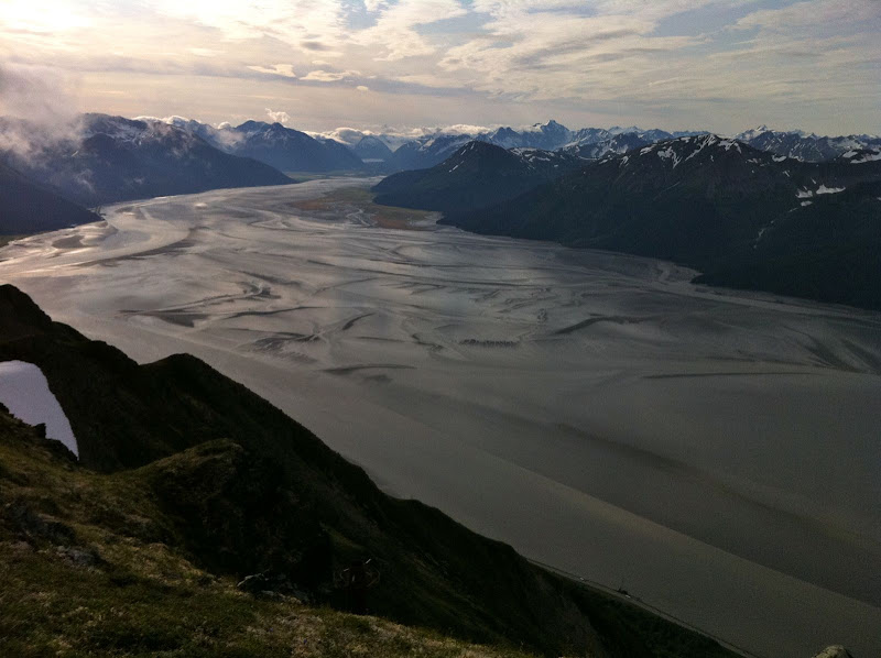
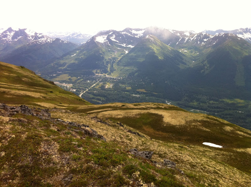
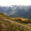
I briefly thought about descending here, as Roman suggests. But I couldn’t resist the urge to see what was around the next corner, then the next… I’m glad I kept going, because the terrain got easier and I could move faster, as the ridge headed northeast, paralleling the road into Girdwood. The terrain is a lot more nuanced here, a wide ridge with lots of tundra-covered rises, depressions and a beautiful lake. Great for running. The scenery is better too, as you are looking away from the highway and into the heart of the Chugach.
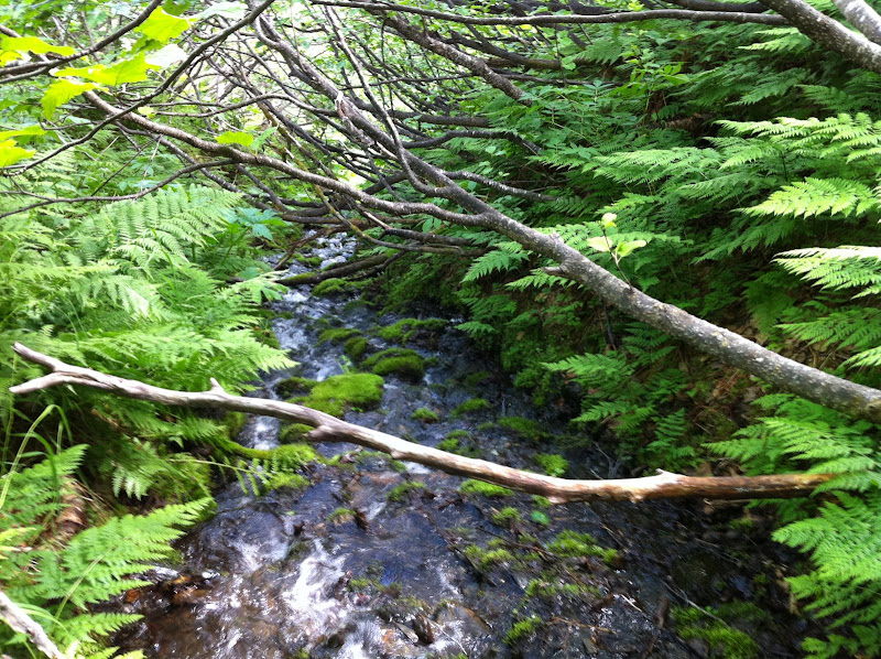
I knew that finding the California Creek trail for the descent was going to be difficult because it is very over-grown. I never did find it. After wandering above brush-line for almost an hour, I finally gave up and picked the drainage that had the shortest distance between open tundra at the top and evergreen canopy at the bottom. Once in the drainage, I found the easiest thing to do was walk in the creek. The California Creek valley is notorious for bears, so I was yelling constantly to overcome the noise of the creek. So, yes, I was doing the same thing these kids did just a few hours later up in the Talkeetnas. [ Shudder ] Just when my feet were going numb from the water, I arrived in the spruce and hemlock forest, which was open for fairly easy walking. I quickly hit “Abe’s Trail” which took me to the California Creek trailhead. It turned out to be a very mild descent by bushwhack standards, and possibly better than the overgrown trail would have been.
I jogged into town and met the family, who had been playing at the Girdwood playground. Unfortunately for them, Dad was a little less than energetic that afternoon.
View Map & Stats on Endomondo
15 miles, 8 hours (includes one mile/one hour of wandering to find Ca. Creek trail)Notes:
I was glad I went west to east, so that I hit the rocky stuff early when I was still fresh. I was hiking into a decent headwind the whole way, but it wasn’t a big deal. It is nice to end in Girdwood and grab some food. A classic Chugach hike, spoiled slightly by the sight and sound of Seward Highway traffic along the way. -
Penguin Ridge Hike
The alarm clock crowed rudely at 4:00 AM. On a Saturday. I fought back by hitting the snooze bar a couple of times.
The Penguin Ridge hike has been on my to-do list for a long time. Tim Kelley first recommended it to me years ago. Like many other local Chugach hikes, I always figured that some weekend, when I had a little extra time, I’ll knock it off my list. But, funny thing, when you have two little rugrats there is never “extra time.” I decided to start at an ungodly hour, so that I could be back on Dad duty by lunch. I left the Bird Creek parking lot just after 5:30 AM.
I knew from previous reports that this ridge offered a lot more vertical and a lot more scrambling than what you can see from the road. But even so, I was surprised how much scrambling there was. I thought that once I got a mile or two past Penguin Peak, I’d be tundra-running the rest of the way. Nope. I should have known better – after all this is the Chugach. The ridge is narrow, rocky and loose enough that you need to go slow, watch your footing, and occasionally scramble, all the way from Penguin Peak until you are directly above the Girdwood turn-off on the highway.
I briefly thought about descending here, as Roman suggests. But I couldn’t resist the urge to see what was around the next corner, then the next… I’m glad I kept going, because the terrain got easier and I could move faster, as the ridge headed northeast, paralleling the road into Girdwood. The terrain is a lot more nuanced here, a wide ridge with lots of tundra-covered rises, depressions and a beautiful lake. Great for running. The scenery is better too, as you are looking away from the highway and into the heart of the Chugach.
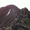 Penguin Ridge Hike – IMG_1212.JPG
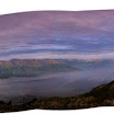 360 degrees from the top of Penguin Peak
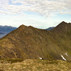 Penguin Ridge Hike – IMG_1214.JPG
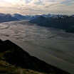 Penguin Ridge Hike – IMG_1215.JPG
 Penguin Ridge Hike – IMG_1217.jpg
 Penguin Ridge Hike – IMG_1222.JPG
 Penguin Ridge Hike – IMG_1225.JPG
I knew that finding the California Creek trail for the descent was going to be difficult because it is very over-grown. I never did find it. After wandering above brush-line for almost an hour, I finally gave up and picked the drainage that had the shortest distance between open tundra at the top and evergreen canopy at the bottom. Once in the drainage, I found the easiest thing to do was walk in the creek. The California Creek valley is notorious for bears, so I was yelling constantly to overcome the noise of the creek. So, yes, I was doing the same thing these kids did just a few hours later up in the Talkeetnas. [ Shudder ] Just when my feet were going numb from the water, I arrived in the spruce and hemlock forest, which was open for fairly easy walking. I quickly hit “Abe’s Trail” which took me to the California Creek trailhead. It turned out to be a very mild descent by bushwhack standards, and possibly better than the overgrown trail would have been.
I jogged into town and met the family, who had been playing at the Girdwood playground. Unfortunately for them, Dad was a little less than energetic that afternoon.
View Map & Stats on Endomondo
15 miles, 8 hours (includes one mile/one hour of wandering to find Ca. Creek trail)Notes:
I was glad I went west to east, so that I hit the rocky stuff early when I was still fresh. I was hiking into a decent headwind the whole way, but it wasn’t a big deal. It is nice to end in Girdwood and grab some food. A classic Chugach hike, spoiled slightly by the sight and sound of Seward Highway traffic along the way. -
Penguin Ridge Hike
The alarm clock crowed rudely at 4:00 AM. On a Saturday. I fought back by hitting the snooze bar a couple of times.
The Penguin Ridge hike has been on my to-do list for a long time. Tim Kelley first recommended it to me years ago. Like many other local Chugach hikes, I always figured that some weekend, when I had a little extra time, I’ll knock it off my list. But, funny thing, when you have two little rugrats there is never “extra time.” I decided to start at an ungodly hour, so that I could be back on Dad duty by lunch. I left the Bird Creek parking lot just after 5:30 AM.
I knew from previous reports that this ridge offered a lot more vertical and a lot more scrambling than what you can see from the road. But even so, I was surprised how much scrambling there was. I thought that once I got a mile or two past Penguin Peak, I’d be tundra-running the rest of the way. Nope. I should have known better – after all this is the Chugach. The ridge is narrow, rocky and loose enough that you need to go slow, watch your footing, and occasionally scramble, all the way from Penguin Peak until you are directly above the Girdwood turn-off on the highway.
I briefly thought about descending here, as Roman suggests. But I couldn’t resist the urge to see what was around the next corner, then the next… I’m glad I kept going, because the terrain got easier and I could move faster, as the ridge headed northeast, paralleling the road into Girdwood. The terrain is a lot more nuanced here, a wide ridge with lots of tundra-covered rises, depressions and a beautiful lake. Great for running. The scenery is better too, as you are looking away from the highway and into the heart of the Chugach.
Penguin Ridge Hike – IMG_1212.JPG360 degrees from the top of Penguin PeakPenguin Ridge Hike – IMG_1214.JPGPenguin Ridge Hike – IMG_1215.JPGPenguin Ridge Hike – IMG_1217.jpgPenguin Ridge Hike – IMG_1222.JPGPenguin Ridge Hike – IMG_1225.JPGI knew that finding the California Creek trail for the descent was going to be difficult because it is very over-grown. I never did find it. After wandering above brush-line for almost an hour, I finally gave up and picked the drainage that had the shortest distance between open tundra at the top and evergreen canopy at the bottom. Once in the drainage, I found the easiest thing to do was walk in the creek. The California Creek valley is notorious for bears, so I was yelling constantly to overcome the noise of the creek. So, yes, I was doing the same thing these kids did just a few hours later up in the Talkeetnas. [ Shudder ] Just when my feet were going numb from the water, I arrived in the spruce and hemlock forest, which was open for fairly easy walking. I quickly hit “Abe’s Trail” which took me to the California Creek trailhead. It turned out to be a very mild descent by bushwhack standards, and possibly better than the overgrown trail would have been.
I jogged into town and met the family, who had been playing at the Girdwood playground. Unfortunately for them, Dad was a little less than energetic that afternoon.
View Map & Stats on Endomondo
15 miles, 8 hours (includes one mile/one hour of wandering to find Ca. Creek trail)Notes:
I was glad I went west to east, so that I hit the rocky stuff early when I was still fresh. I was hiking into a decent headwind the whole way, but it wasn’t a big deal. It is nice to end in Girdwood and grab some food. A classic Chugach hike, spoiled slightly by the sight and sound of Seward Highway traffic along the way.